

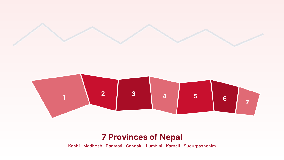
Nepal switched from a unitary Hindu kingdom to a federal democratic republic in 2015, and one of the biggest visible changes was the creation of seven provinces where there used to be none. If you grew up learning Nepal's geography by its old development regions or zones, this new map can feel unfamiliar even now, over a decade later. Here's what each province actually is, where its capital ended up, and roughly how big it is.
"Province" is the official English term (Pradesh in Nepali), though English-language coverage sometimes calls them "states of Nepal," by analogy with India's states next door. Either way, it's the same seven units described below.
Quick overview
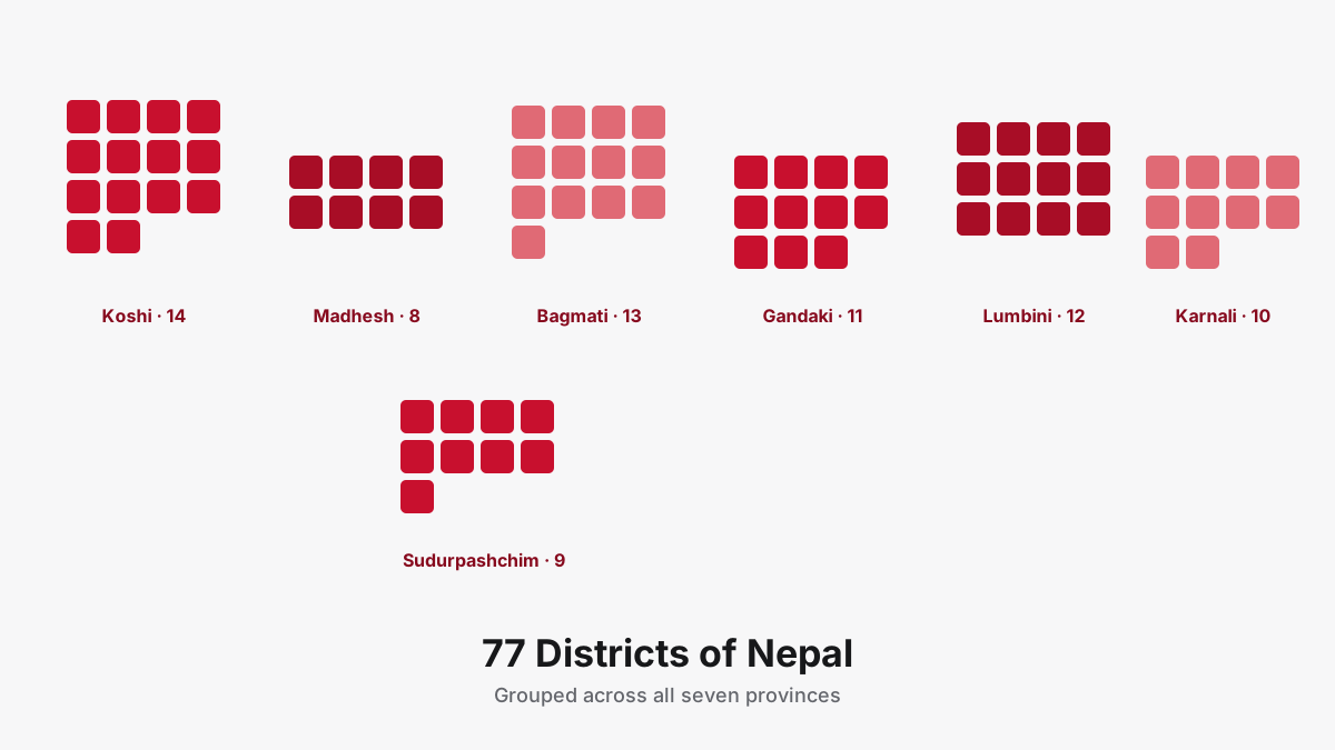
Each province is subdivided into districts, and each district into local levels (municipalities and rural municipalities). Between them, the seven provinces contain all 77 districts and 753 local levels in the country. A few were given straightforward names early on; others went through years of political back-and-forth before settling on a name and a permanent capital, which is why you'll still see "Province 1" or "Province 5" in older articles and government documents.
| Province | Capital | Districts |
|---|---|---|
| Koshi | Biratnagar | 14 |
| Madhesh | Janakpur | 8 |
| Bagmati | Hetauda | 13 |
| Gandaki | Pokhara | 11 |
| Lumbini | Deukhuri (Dang) | 12 |
| Karnali | Birendranagar (Surkhet) | 10 |
| Sudurpashchim | Godawari (Kanchanpur) | 9 |
Koshi Province
Formerly known simply as Province No. 1, Koshi was renamed in 2023 after the Koshi River that runs through it. Its capital, Biratnagar, is also Nepal's second-largest city and a longstanding industrial hub near the Indian border. Koshi covers about 25,905 square kilometres and had a population just under 5 million at the 2021 census. Geographically it's one of the most varied provinces in the country: it stretches from the flat eastern Tarai plains all the way up to the Everest region in Solukhumbu district, meaning a single province contains both sea-level farmland and the highest point on Earth.
Madhesh Province
Madhesh sits entirely within the Tarai, the flat plain bordering India, and is Nepal's smallest province by area at roughly 9,661 square kilometres, yet its most densely populated, with over 6.1 million residents at last count. Its capital, Janakpur, is one of Nepal's oldest cities and a major Hindu pilgrimage site, closely associated with the Ramayana. Madhesh's identity is tied closely to Madhesi and Maithili culture, distinct in language and tradition from the hill regions further north.
Bagmati Province
Bagmati is home to Kathmandu, the national capital, which naturally leads people to assume Kathmandu is also the provincial capital. It isn't. After a long dispute, Hetauda in Makwanpur district was designated Bagmati's permanent provincial capital, partly to avoid concentrating even more administrative weight into the already-crowded Kathmandu Valley. Bagmati covers around 20,300 square kilometres and is home to roughly 6 million people, making it one of the two most populous provinces alongside Madhesh.
Gandaki Province
Gandaki's capital, Pokhara, is Nepal's tourism capital in every practical sense: gateway to the Annapurna trekking circuit, home to Phewa Lake, and a much easier place to get building permits approved than Kathmandu. Gandaki covers about 21,500 square kilometres with a population of roughly 2.4 million, making it comparatively less crowded despite the tourist traffic through Pokhara itself.
Lumbini Province
Named after Lumbini, the birthplace of the Buddha and a UNESCO World Heritage Site located in Rupandehi district, this province had one of the messier capital disputes of the seven. Butwal served as an interim capital for years while the province debated a permanent location, and the decision eventually landed on Deukhuri, in Dang district, rather than Butwal itself. Lumbini covers roughly 22,300 square kilometres and has a population around 5.1 million.
Karnali Province
Karnali is Nepal's largest province by land area, close to 28,000 square kilometres, and its least populated, at under 1.8 million people. It's also its most rugged and remote: much of Karnali is high-altitude terrain with limited road access, which is part of why offline-first tools matter more here than almost anywhere else in the country. Its capital, Birendranagar, is in Surkhet district.
Sudurpashchim Province
Sudurpashchim, meaning "far west" in Nepali, is exactly that: the westernmost province, bordering both India and, at its northern tip, close to the Tibet Autonomous Region of China. Dhangadhi served as an interim capital before Godawari, in Kanchanpur district, was settled on as the permanent seat. The province covers roughly 19,500 square kilometres and has a population of about 2.7 million.
Why some capitals took years to settle
If you're wondering why a couple of these capitals sound tentative, "interim capital while X was decided," that's not an error in this article. Nepal's 2015 constitution created the provinces before fully settling every capital, largely because designating a permanent seat of government is politically loaded: it shifts investment, jobs and infrastructure spending toward whichever city wins. Lumbini and Sudurpashchim both saw genuine protests and prolonged negotiation before Dang's Deukhuri valley and Kanchanpur's Godawari were confirmed as permanent capitals, years after the provinces themselves came into existence. It's a useful reminder that federalism on paper and federalism in practice aren't always the same timeline.
For the full breakdown of exact population figures and a citable source, Wikipedia's Provinces of Nepal page is kept reasonably current and cross-references Nepal's Central Bureau of Statistics data.
For every district and local level within each province, in table form with headquarters, ward counts and area, see the Nepal local levels directory.
Browse every province, district and local level offline in the Nagarik Nepal app.
Join the WaitlistOnce you're comfortable with the seven provinces, the next logical step is the 77 districts sitting underneath them, or the 753 local levels underneath those. Both are covered in detail in the linked guides below.